In Plain Sight
Some people turn ground into figures and back again. They are not just measuring. Boundaries get walked, distances chained and corners recorded, so that a line on paper can be found again on the hill in fifty years. You'd notice this in the one who can still point to where the old fence truly stood.
The Pattern at Work
The two farms disagree about eleven metres of hillside and both have deeds that support them, because both deeds describe the line by reference to features that have moved: a stream that has shifted, a wall that was rebuilt in a slightly different place, and a tree that came down in 1987. The person who settles it does not adjudicate. He goes and finds two corner markers that nobody has looked at in decades, one of them under turf, measures from them, and produces a line that neither party chose. What makes it stick is not authority. It is that the measurement can be repeated by anybody, including the people who lost.
The recording is the real work and it is done for somebody not yet born. A corner is not marked and noted as being by the gate, because gates move. It is tied to at least two things unlikely to move, with distances, so that a stranger can recover the point from the description alone.
A development is set out on a site where the ground falls three metres across a plot that the drawings show as flat. Every level on the drawing is therefore wrong and can be made right, in a morning, by somebody who translates between the paper and the hill in both directions.
There is a deliberate distance in it too. The person doing this generally declines to have an opinion about who ought to own what, and that refusal is why the figures are trusted.
What the Examples Show
It reads as surveying, which is accurate and makes it sound purely technical.
The technical half is translation in two directions, and the second direction is the one people forget. Turning ground into figures is measurement. Turning figures back into ground — standing on a hill with a description written in 1908 and finding the point — is a different skill and is where the value sits, because that is what a boundary record exists for.
The second element is durability of reference. Everything visible on a landscape moves: trees, walls, streams, tracks. A record tied to those will fail, and knowing which references survive a century is the craft.
And the detachment is functional rather than temperamental. Figures that are trusted by both sides have to be produced by somebody with no stake, and the habit of refusing to have a view is the thing that makes the numbers do their work.
Going Deeper
Measuring ground precisely is one of the oldest state functions and one of the oldest sources of conflict.
Egyptian rope-stretchers re-established field boundaries after every Nile flood, every year, and a great deal of practical geometry came out of having to do it again each season. Roman agrimensores laid out centuriation across conquered land and left manuals detailed enough to work from today. The Domesday survey was an accounting of ground for taxation, conducted in a hurry and relied on for centuries afterwards. The Great Trigonometrical Survey of India took some seventy years to complete and cost an enormous number of lives, mostly to malaria rather than to anything dramatic. Enclosure surveys in Britain converted common land into private parcels, lawfully, accurately, and catastrophically for the people who had been using it, and the surveys themselves were faultless.
That is the permanent difficulty: the measurement is neutral and what it is used for is not.
A surveyor's line settles a dispute and also dispossesses somebody, and the profession's detachment is both what makes it useful and what allows it to be used. The work itself is also physically hard and unglamorous, done in weather, mostly alone, and is judged entirely by whether a stranger can reproduce it decades later — which means the practitioner receives no feedback at all within their own career. And the records are fragile: a beautifully made survey is worthless if the office holding it is closed, and a great deal has been lost that way rather than by any error of measurement.
The Image
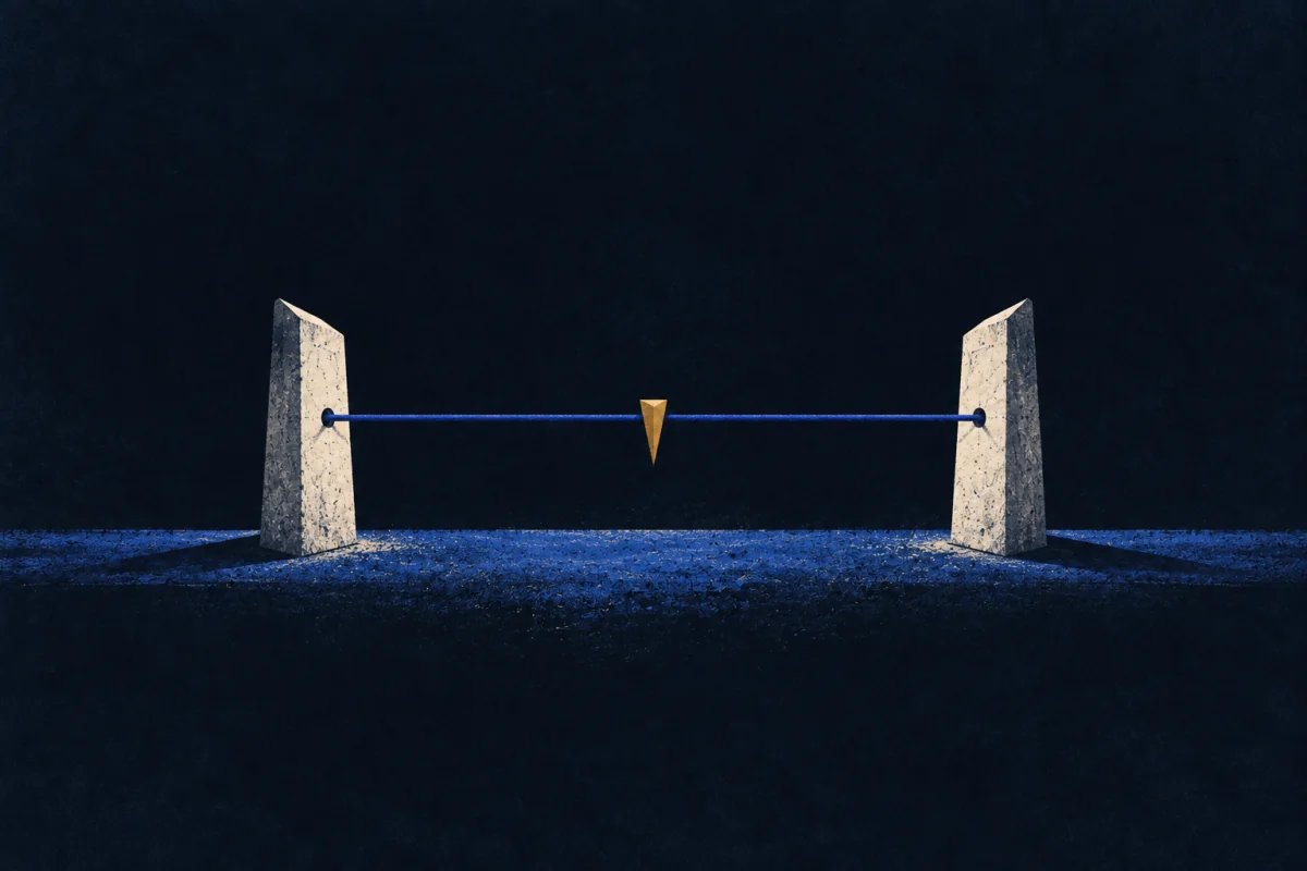
Tied to two things that will not move.
Not the gate, not the tree, not the corner of the barn. Two references chosen because they will still be there when everything visible has gone, with distances to both.
Anything recorded for the future has to be tied this way. Most records are tied to whatever was convenient on the day, which is why so little of what gets written down can actually be used later.
Where It Stops
Being precise is not this, and neither is liking maps. The distinguishing thing is working in both directions, and specifically being able to recover a point from an old description.
It goes wrong as precision without judgement. Not every line needs settling to the centimetre, and a mind organised around exactness can spend a week producing a figure that will be argued about anyway because the dispute was never about the measurement.
It also fails where the question is human. Boundaries are frequently arguments about history, resentment or money wearing a metric disguise, and answering the metric question can harden something that wanted a conversation.
Take the plainer explanation first. Any qualified surveyor does this, because it is the profession. The test is whether it appears without the qualification — somebody who paces a distance and remembers it, who knows where the old fence stood, who ties a description to things that will last.
Where It Pays
Inside a job. Land and quantity surveying, boundary and title work, setting out for construction, forestry and estate management, archaeology, utilities mapping, and any role where a line on paper must be recoverable on the ground. Also the records end of all of those, which is where most of the long-term value actually sits and where almost none of the budget goes.
What is being bought is a dispute that never happens. Boundary and setting-out errors are extraordinarily expensive once built on, and almost all of them originate in a record that was adequate at the time and unrecoverable later. One person who ties references properly removes a class of problem for a century, at a cost of an extra hour on the day.
Where it pays badly is anywhere speed is the measure, anywhere the record ends up held casually in somebody's filing, and in any organisation that treats the survey as a compliance step to be got through rather than as the thing that will be relied on when everybody has gone. Outside one. Farms, allotments, shared drives, family land. The cost worth naming is that being trusted by both sides means being liked by neither once the answer arrives.
Try This
Take a boundary you rely on — a garden, a parking space, a patch of anything shared.
Write a description of it that a stranger could use in fifty years. Not the fence. Two fixed things with distances to each, and a note of the date.
Most people find this surprisingly hard, and discover that the only references available are things that will certainly be gone.
Then put the note somewhere it will survive, which is the other half and the half that usually fails.
Tied to two things that will not move is a tool, not a self. Pick it up where something will have to be found again long after you have gone. Put it down where the disagreement is about fairness rather than about where the line is.
If This Isn't You
Most people accept the fence where it stands, get on with their neighbours, and never have a dispute, which is a far better outcome than being right. Feeling no urge to find the buried corner marker is an answer, not a vagueness.
Where To Go Next
Its near-twin — Map Translator. Both convert ground onto paper. Map Translator distorts deliberately so a traveller can use it. This one must not distort at all, because the paper will be turned back into ground by somebody else.
Its shadow — Field-Naturalist. Field-Naturalist reads a place to find out what is happening in it. This one reads a place to fix positions in it, and is entirely uninterested in what lives there.
Most often confused with — Settlement-Planner. Both work out where lines should fall on ground. Settlement-Planner is deciding how people will live. This one is recording where the line already is, and declines to have a view about what ought to be there.