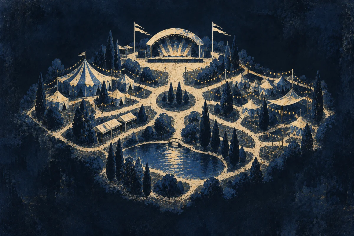
In Plain Sight
Some people draw a place so that somebody else can move through it. What goes in is chosen and most of it is left out, because a picture with everything on it cannot be followed at speed. The bathroom ends up drawn bigger than the stage. You'd notice this in whoever sketches the route on a napkin and the napkin works.
The Pattern at Work
The whole method is subtraction. Anybody can draw what is in front of them; the difficult judgement is which two thirds of it to throw away, and that judgement depends entirely on what the reader is trying to do. A drawing for somebody finding a toilet at a festival and a drawing for somebody unloading a van into the same field share almost nothing, even though the field is the same field. Somebody with this pattern starts from the reader's question rather than from the place, which is why they will ask what the picture is for before picking anything up, and why they are unbothered about leaving out a building that is plainly there.
What follows is deliberate distortion. Things get drawn at the size of their importance rather than their size on the ground, distances get evened out so the turns are legible, and an angle gets straightened because a person moving through a space does not measure angles. All of this is technically wrong and it is what makes the drawing usable. The test applied is not accuracy, it is whether a stranger holding the picture makes the right turn, and somebody good at this will hand the sketch over and watch rather than explain it. An explanation covers for a drawing that failed, so the explanation is withheld on purpose and the silence does the checking.
The picture is meant to be thrown away. It served one person, once, and nobody tries to make it permanent.
What the Examples Show
It gets read as being artistic, or as having a good sense of direction, or as being handy with a pen.
The first element is that the work is subtraction rather than depiction. The place is not the subject; a particular reader's particular question is, and everything that does not serve that question comes out of the picture.
The second is that the distortion is on purpose. Size, distance and angle get altered to match how somebody moving actually uses them, which makes the drawing inaccurate and usable at the same time.
The third is that the test is behavioural. Whether the picture is good is settled by watching a stranger use it, not by comparing it to the ground, and that check is the part most people skip.
Going Deeper
Pictures of places have almost always been made for use rather than for record, and the accurate survey is the late arrival.
Portolan charts covered the Mediterranean with sailing bearings and coastal names and were blank in the middle, because nothing in the middle helped. Micronesian stick charts encoded swell patterns and island positions in a form no European would have recognised as a map at all. Aboriginal route paintings across Australia hold sequences of waterholes in the order they are reached. The London Underground diagram straightened a city into a circuit board in 1933, was rejected as wrong before it was printed, and became the most copied piece of information design there is. Every one of these throws away the ground in order to keep the journey, and every one of them was called inaccurate by somebody who wanted the ground back.
The costs come from the same place the usefulness does. A drawing built for one purpose gets used for another, and the distortion that helped a walker will strand a driver. A sketch handed over without its question attached misleads with confidence, which is worse than being blank. The work is invisible when it succeeds, since a picture that answers a question makes the question look easy and nobody credits the removal of everything else. And it sits low in every hierarchy it appears in: the surveyor is a professional, the person who turned the survey into something followable is usually described as having drawn it up.
The Image
The napkin.
Somebody asks how to get there and you turn over the paper in front of you.
Four lines, two words, a circle where the turn is. You leave out the whole rest of the city, including the street they are standing on, and they arrive. The napkin goes in a bin an hour later and that was always the plan. It was never a record of anywhere. It was one answer to one person, drawn at the size of their problem.
Where It Stops
Drawing well is not this, and neither is knowing a place. Plenty of people can render a street beautifully and produce something nobody can navigate, and the difference is whether anything was taken out.
It goes wrong as oversimplifying. A picture can be stripped past the point where it still holds, and the reader then makes a confident wrong turn instead of a cautious right one. Leaving out a hazard is not clarity.
It also fails where precision is the point. Property boundaries, engineering drawings and anything that will be built from have no room for a helpful distortion, and this instinct will quietly wreck them.
Take the plainer explanation first. Most people sketch a route for a friend occasionally. The test is whether the sketch changes shape depending on who is going to hold it.
Where It Pays
Inside a job. Information design and wayfinding, event and venue planning, exhibition design, transport and network diagrams, emergency and evacuation planning, field guides and trail signage, and the illustration side of journalism and publishing. Also site logistics in construction and film, where somebody has to tell fifty people where to put things.
What is being bought is people arriving in the right place without asking. A venue where nobody queues at the wrong door, a hospital where visitors find the ward, an evacuation that empties a building in the time it was supposed to: all of these are produced mainly by drawings, and by one person's decisions about what the drawings do not show. The saving is in staff who are not answering directions all day, and it is large and never counted that way.
Where it pays badly is that the output looks like a by-product. The plan is treated as documentation of the real work rather than as the thing that makes the real work land, and it is often assigned to whoever happens to have the software open.
Outside one. Households, clubs, festivals, group trips, and anywhere people have to find each other. The cost worth naming is that once somebody has drawn one good plan, every future plan is theirs.
Try This
Next time somebody asks you where something is, draw it instead of saying it.
Before you start, ask one question: what are they going to do when they get there. The answer decides the whole picture.
Then draw four things and no more. The turns, the one landmark they cannot miss, the destination, and the thing that would make them doubt they were right.
Hand it over without explaining it. Watch where they hesitate. That hesitation is the only useful feedback the drawing will ever give you.
Drawing the place down to its question is a tool, not a self. Pick it up where somebody has to move and has no time. Set it down where the drawing will be built from, because there the leaving out becomes a fault rather than a service.
If This Isn't You
Plenty of people give directions in words, badly, and everyone still arrives. Not drawing is not a limitation; most places are found by asking somebody, which has worked for a very long time.
Where To Go Next
Its near-twin — Map-Maker. Both put a place on paper. Map-Maker builds a record that has to stay true for years and be right for anybody. This one builds something disposable for one reader with one question, and distorts it freely to do so.
Its shadow — Image-Witness. Image-Witness records exactly what was there and removes nothing, because the value is in the absence of choices. This one is made entirely of choices about what to drop.
Most often confused with — Map Translator. Both make a place understandable. Map Translator takes an existing map and reconciles it with the ground for somebody standing in it. This one starts from the ground and makes the picture, and there may be no map involved at all.