In Plain Sight
Some people make maps of places nobody has bothered to map properly. The sources disagree, the names are spelled several ways, the last survey is older than the roads. So they go and look, alone, and come back with something that holds together. You'd notice this in the one whose hand-drawn plan of the caves is the one everybody uses.
The Pattern at Work
The map is built out of things that do not agree. No single source is right, and the work is deciding, item by item, which one to believe.
Compilation is most of it. An old survey, a satellite image, somebody's sketch, a land registry, several spellings of a place name and the memory of whoever lives there all describe the same ground, and none of them match. Each discrepancy has to be resolved rather than averaged, and resolving it usually means finding out how each source was made: what was measured, what was copied from the source before it, and what was invented to fill a gap. A name that appears once and never again is a different kind of fact from one that appears on every sheet, and treating them the same is how errors get preserved for a century. The dates matter as much as the content, because a map is a claim about a moment.
The rest is ground truth, which is why the adventurous part is not decoration. Sooner or later the only way to settle a disagreement is to go and stand there, often somewhere awkward: the cave, the far end of the estate, the bit of coast nobody visits. That walking is not a survey expedition with a team. It is one person with a notebook checking a handful of specific questions they arrived with. And working alone shapes the result, because there is nobody to catch an error, so the discipline is to record what was observed separately from what was inferred and to leave the map honestly blank where the answer is not known.
What the Examples Show
It gets read as a love of maps, or as fussiness about detail, or as a solitary hobby that got out of hand.
The first element is that the sources disagree and cannot be averaged. Each discrepancy is settled by working out how each source was made and what it copied, because a name that appears once is a different fact from one that appears everywhere.
The second is ground truth. Some disagreements can only be ended by going to stand in the place, usually somewhere awkward, with a short list of specific questions.
The third is that working alone changes the method. With nobody to catch an error, observation is recorded separately from inference, and the map is left blank where the answer is not known.
Going Deeper
Most of the world was mapped by individuals working with very little. Parish and estate surveyors, missionaries, customs officers, army subalterns and enthusiasts produced the first usable sheets for enormous areas, and national surveys absorbed their work later, frequently without checking it. That is why old errors persist: a mistaken river course or a misheard place name gets copied from sheet to sheet for generations, because copying is cheaper than surveying and nobody goes back.
The amateur tradition never stopped. It moved to the places official mapping does not reach. Cave systems are surveyed almost entirely by the people who explore them. Wrecks, mine workings, footpath networks and informal settlements are mapped by whoever cares enough. Satellite imagery and open mapping projects changed the tools without changing the shape of the work, because an image shows what is there and says nothing about what it is called, who owns it or whether the track is passable, and all of that still has to be found on the ground.
The costs are the ones solitary work always carries. It is unpaid almost everywhere it happens, takes years, and produces something other people use without ever knowing who made it. There is no review, so an error can stand for decades and the maker will be blamed for it long after. Access is a permanent difficulty, since much of the interesting ground is private, dangerous or both. And the work is never finished in any satisfying way, because the ground keeps changing and a map is out of date on the day it is drawn.
The Image
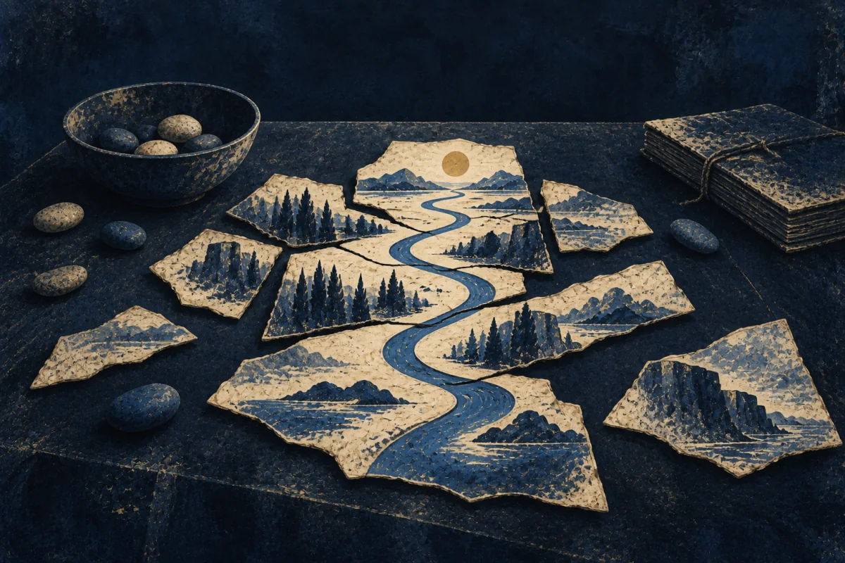
Leaving it blank.
A part of the sheet with nothing on it, on a map where everything around it is detailed, because the maker went there and still could not say.
Every instinct is to draw something plausible, and almost every historic map did. A blank is an admission that reads as incompetence and is the opposite of it. It tells the next person exactly where to go, and it is the only part of the map that cannot mislead anybody.
Where It Stops
Liking maps is not this. Collecting them, reading them and enjoying them are common, and none of them involve deciding between two sources that cannot both be right.
It goes wrong as accuracy nobody needs. A map exists for a use, and somebody who keeps refining a sheet past the point where the extra precision changes any decision has stopped making a map and started keeping a hobby.
It also fails in company. The method depends on one person holding the whole thing in their head, which does not divide, and a project of any size needs conventions, delegation and somebody else's judgement accepted.
Take the plainer explanation first. Anybody who walks unfamiliar ground sketches some of it. The test is whether the sources were compared and dated before the walk.
Where It Pays
Inside a job. Surveying and geographic information work, cadastral and land registry mapping, hydrographic and cave survey, archaeological and heritage recording, utilities asset mapping, and the field side of humanitarian and open mapping programmes. Also facilities and estates mapping, where nobody knows what is under the site and somebody has to find out.
What is being bought is a record that can be relied on. A boundary dispute, a cable strike, a rescue or a planning decision turns on whether the map was right, and organisations that have been burned by a bad one pay properly to avoid the next. The value sits in the provenance as much as in the drawing, because a map that says where each part came from can be defended.
Where it pays badly is anywhere the work is treated as data entry. Much of the field survey is contract work priced by the sheet, and the compilation and source checking that make it trustworthy are rarely paid for at all.
Outside one. Cave and mine survey, local history mapping, footpath and access recording, and mapping one small area properly for the first time. The cost worth naming is that it swallows years and nobody asked for it.
Try This
Pick a small area you know: a few streets, a building, a piece of land.
Find two descriptions of it that were made separately. Two maps, a map and a website, an old photograph and a current plan. Write down every point where they disagree.
Now go and settle three of the disagreements on the ground, and write beside each one how you decided and on what date.
Where you cannot settle it, write that instead of guessing.
Compiling the truth is a tool, not a self. Pick it up where people will act on the answer. Set it down where roughly right is entirely good enough, which is most of the time.
If This Isn't You
Plenty of people use whichever map comes to hand, find the place and think no more about it. Trusting the sheet is reasonable, and mostly it is trustworthy.
Where To Go Next
Its near-twin — Map Translator. Both flatten ground onto paper so a stranger can use it. Map Translator is working from a landscape they can see, choosing scale and direction so it is recognised on arrival. This one is working from sources that contradict each other, and most of the job happens before anything is drawn.
Its shadow — Map-Reckoner. Map-Reckoner wants to know why places sit where they do, and works at the scale of continents and rain. This one is settling whether a track exists, alone, on the ground, and has no view about the trade route.
Most often confused with — Map-Maker. Both turn confusion into something usable. Map-Maker is reducing a mess so that the people around them can act. This one is building a record for strangers who are not there, and will leave it blank rather than simplify.